
01Surveying
01 / 03
Surveying & Geospatial
Ground truth for every project.
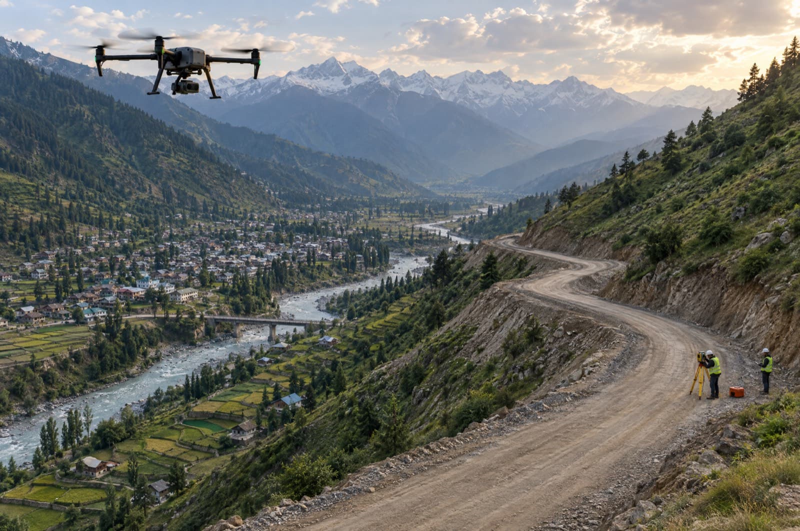
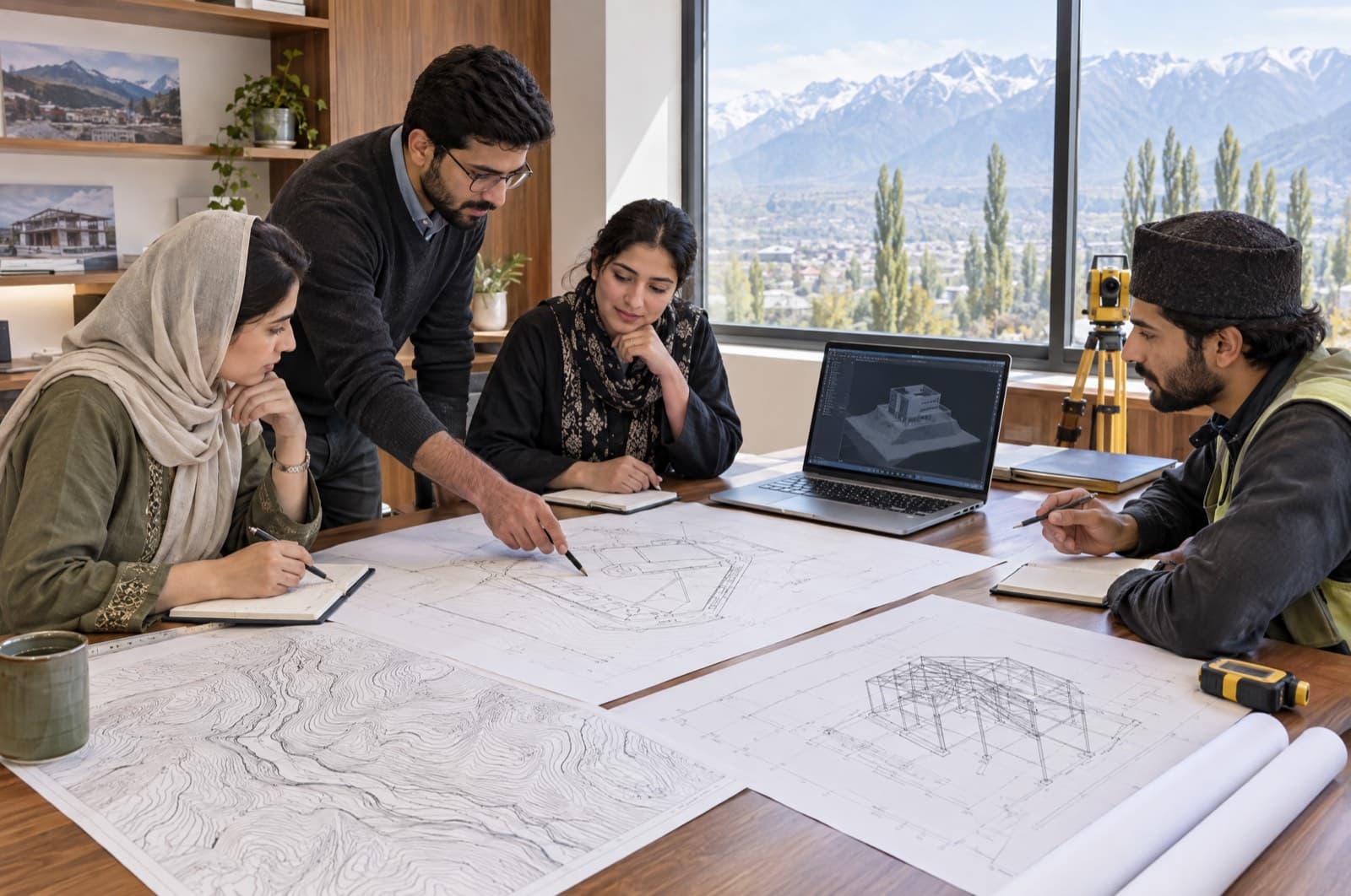
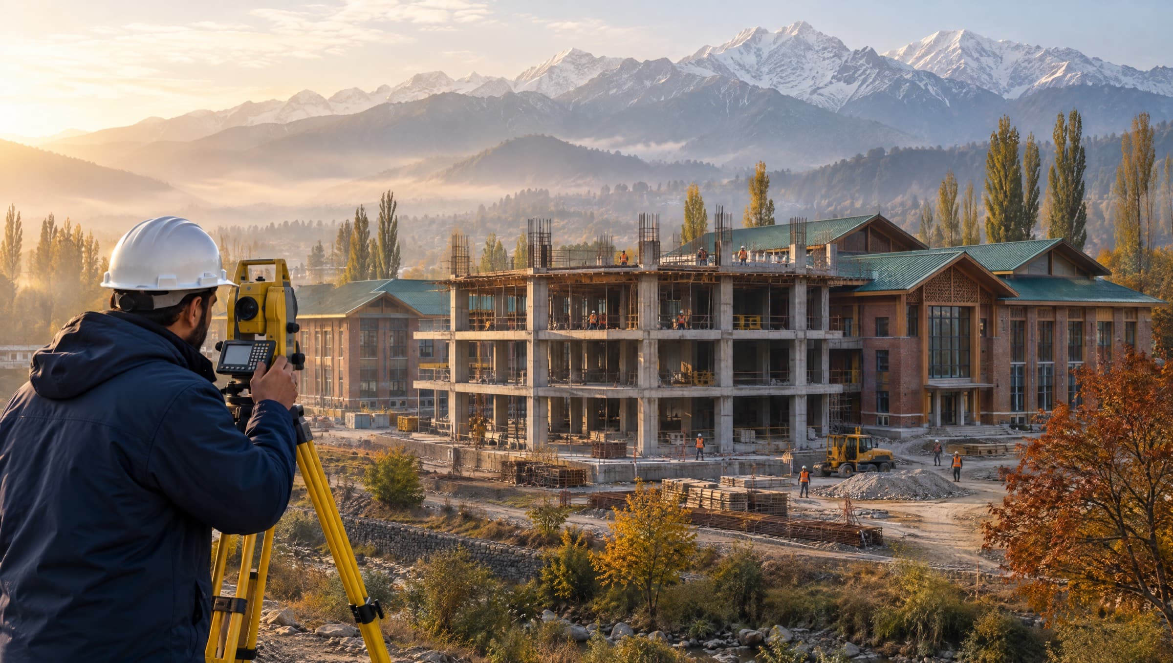
Every sound design, estimate and approval starts with accurate field data. Our survey teams capture, verify and deliver site information in the formats departments rely on.
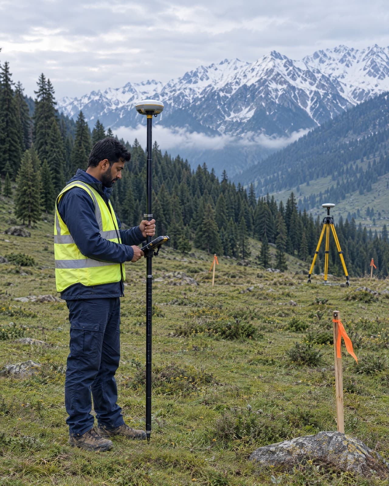
- Total station & DGPS / GNSS surveys
- Topographical & contour surveys
- Road alignment, L-sections & cross-sections
- Land measurement & demarcation
- Control points & benchmark establishment
- Layout marking & as-built verification
Typical applications
Roads & bridgesWater supply schemesPublic building sitesLand records